

Online Mapping Software to Create, Manage, and Share Maps
Mapme is online mapping software that runs entirely in your browser. Import location data from spreadsheets, build media-rich interactive maps, collaborate with your team, and embed the result on any website. No downloads, no GIS training, no code.


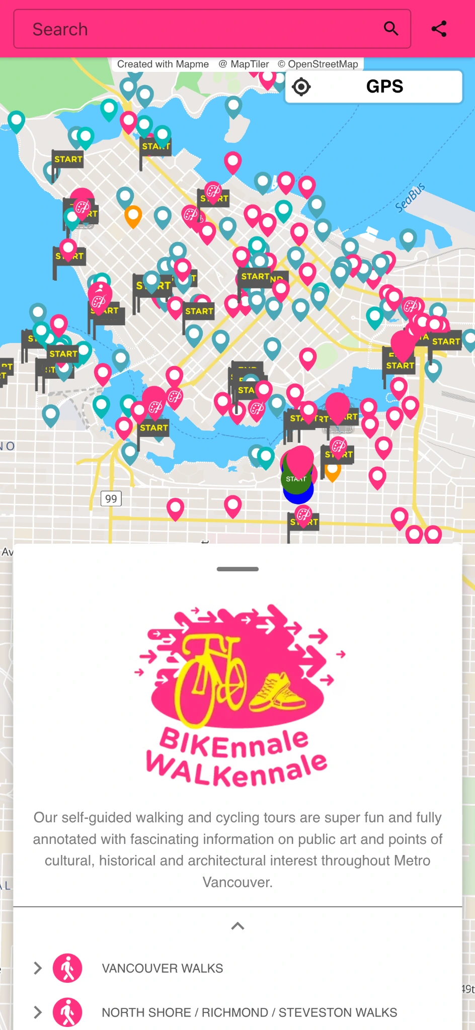

What is online mapping software?
Online mapping software is a category of web-based tools for creating, editing, and publishing maps without installing desktop GIS applications. Modern mapping tools combine data import, visual customization, collaboration, and analytics in one platform, so teams can turn location data into interactive maps that work on any device.
What to look for in mapping software
No-code map creation
Build interactive maps visually – no coding or GIS expertise required.
Data import and live sync
Import spreadsheets and keep map data synced automatically.
Customization and branding
Match every map to your brand with flexible design controls.
Publishing and embedding
Publish maps instantly and embed them on any website.
Analytics and lead capture
Measure engagement and collect leads directly from your maps.
Mapme’s mapping tool features
Import from Excel, CSV, and Google Sheets
Know More →
Collaborate with your team
Know More →
Customize every map element
Know More →

Types of mapping software

GIS platforms

Free consumer map tools

No code map builder
Mapping software use cases
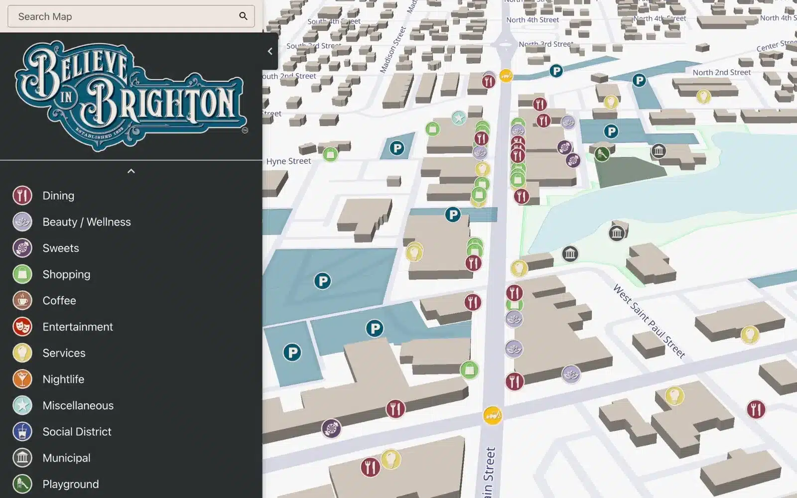
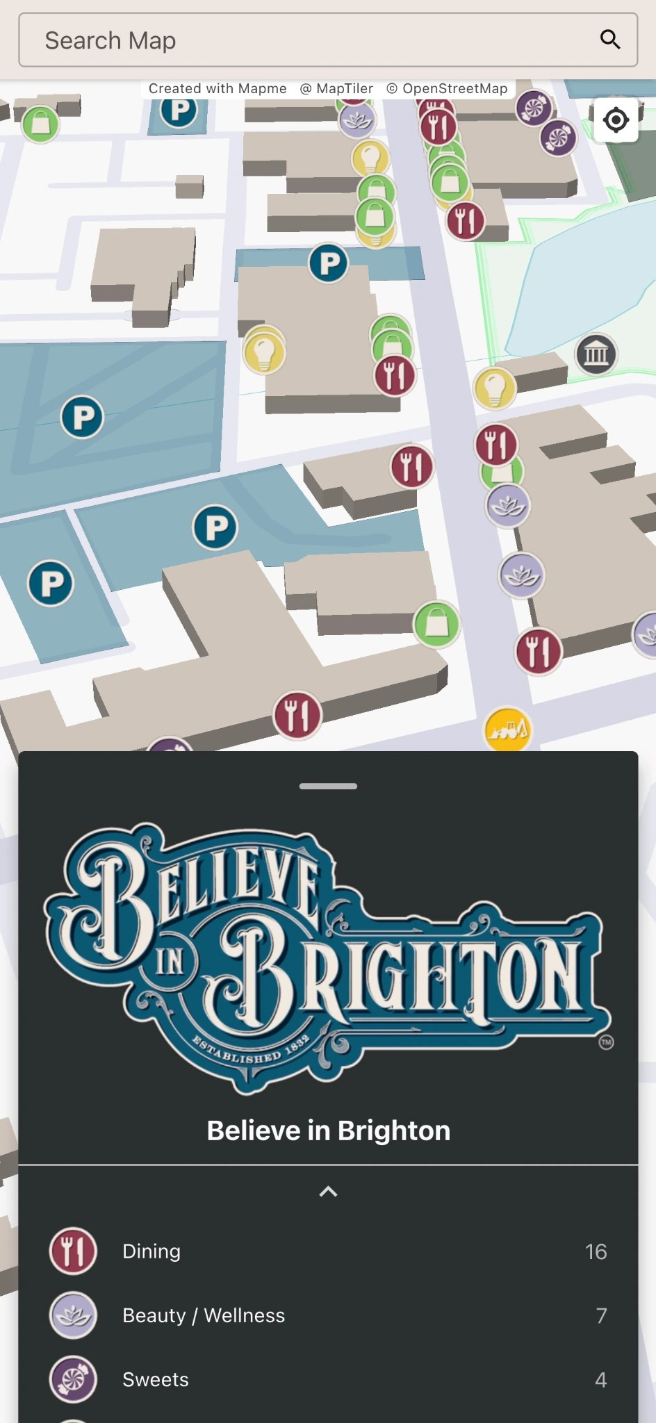
Downtown & City Guide Map
Publish city guides
Events
Manage event locations
Crowdsource Map
Collect community data
Business Impact Map
Show economic impact
Manufacturing Plants
Map plant operations
Student Project
Present project work
Campus Map
Navigate campus spaces
Parking Map
Manage parking information
Portfolio Map
Visualize projects by location
Safety & Security
Improve emergency readiness
Indoor & Outdoor Markets
Mapping vendors & visitor flow
and use cases unique to your business
How Mapme compares to other mapping software
Frequently Asked Questions
What features should I look for in online mapping software?
Choose mapping software with an intuitive, no-code interface, fully customizable design, and mobile responsiveness. Essential features to look for include interactive layers, real-time updates, multimedia support, data import/export capabilities, and simple embed options for smooth integration with your website or platform.
How do I customize the design and layout of an online map?
Most mapping tools let you adjust colors, icons, and styles to align with your brand. With Mapme, you can take customization even further by adding interactive elements, multimedia content, and your own branding—creating a visually rich and user-friendly map experience.
What kind of analytics and insights can I get from an online map?
Tools like Mapme offer detailed analytics, including user interactions such as map views, clicks, and engagement patterns. These insights help you understand how your audience is using the map, so you can optimize content and improve your overall strategy.
What is the difference between mapping software and GIS?
GIS (geographic information systems) software is built for spatial analysis and data science on geographic data. Mapping software like Mapme is built for creating and publishing maps that inform and engage an audience. Most marketing, real estate, and community teams need the latter.
Is Mapme’s mapping software suitable for teams?
Yes. Multiple team members can create, edit, and review maps together, and updates publish to your live maps in real time.
How much does mapping software cost?
Free tools cost nothing but cap what you can build. Professional mapping software typically runs from entry-level monthly plans to enterprise licensing. Mapme offers flexible plans for organizations of every size; see pricing.