
Create interactive maps without coding or GIS expertise
Interactive mapping for every team, project, and audience


Trusted By
Create interactive maps across all industries
Mapme is used across industries to create interactive maps for cities, real estate, construction, retail, travel, and nonprofits-supporting internal teams and public audiences alike.
Endless use cases for interactive maps
Mapme supports a wide range of interactive map use cases, including project portfolios, events, campuses, city guides, and real estate listings.
Anyone can build a map with Mapme
Anyone — marketers, designers, IT or HR employees, agencies — can build a map with the Mapme platform, no GIS or coding knowledge required

Customize your interactive map to make it work and look the way you want it to.
Choose from a variety of map styles, layouts, and colors to match the look and feel of your project and brand. Create custom map markers, or upload your own! Give your map extra pop by emphasizing buildings in 3D.
Add media and documents to your interactive map


Add photos, videos, audio, PDFs, Matterport 3D tours, and more. Draw lines to show routes. Create shapes to highlight areas on your map.

Easily import data and user-generated content
Quickly and easily import new locations from spreadsheets with our CSV import.
Seamlessly add, modify, or remove locations directly within Google Sheets with Map To Sheets
Add locations to your map in real-time from form builders like Google Forms.
Embed and share your interactive map everywhere


Track Visitor Engagement and Conversions on Your Map
Gain detailed insights into user interactions on your maps, similar to those on your website. Measure conversion rates from call-to-actions on your map and optimize user interactions to enhance engagement and boost conversion rates.

Mapme serves customers across industries
Nonprofit & Government
Share your achievements
Commercial Real Estate
Market your properties
Residential Real Estate
Close more sales
Art & Culture
Engage your community
Tourism & Hospitality
Increase your bookings
Retail
Show store locations
Construction & Architecture
Visualize project portfolios
News & Media
Tell stories visually
Places of Worship
Guide every congregation
and many more industries
Interactive mapping for every use
Downtown & City Guide Map
Publish city guides
Events
Manage event locations
Crowdsource Map
Collect community data
Business Impact Map
Show economic impact
Manufacturing Plants
Map plant operations
Student Project
Present project work
Campus Map
Navigate campus spaces
Parking Map
Manage parking information
Indoor & Outdoor Markets
Map vendors & visitor flow
Portfolio Map
Visualize projects by location
Safety & Security
Improve emergency readiness
Safety & Security
Improve emergency readiness
Portfolio Map
Visualize projects by location
Indoor & Outdoor Markets
Map vendors & visitor flow
and use cases unique to your business
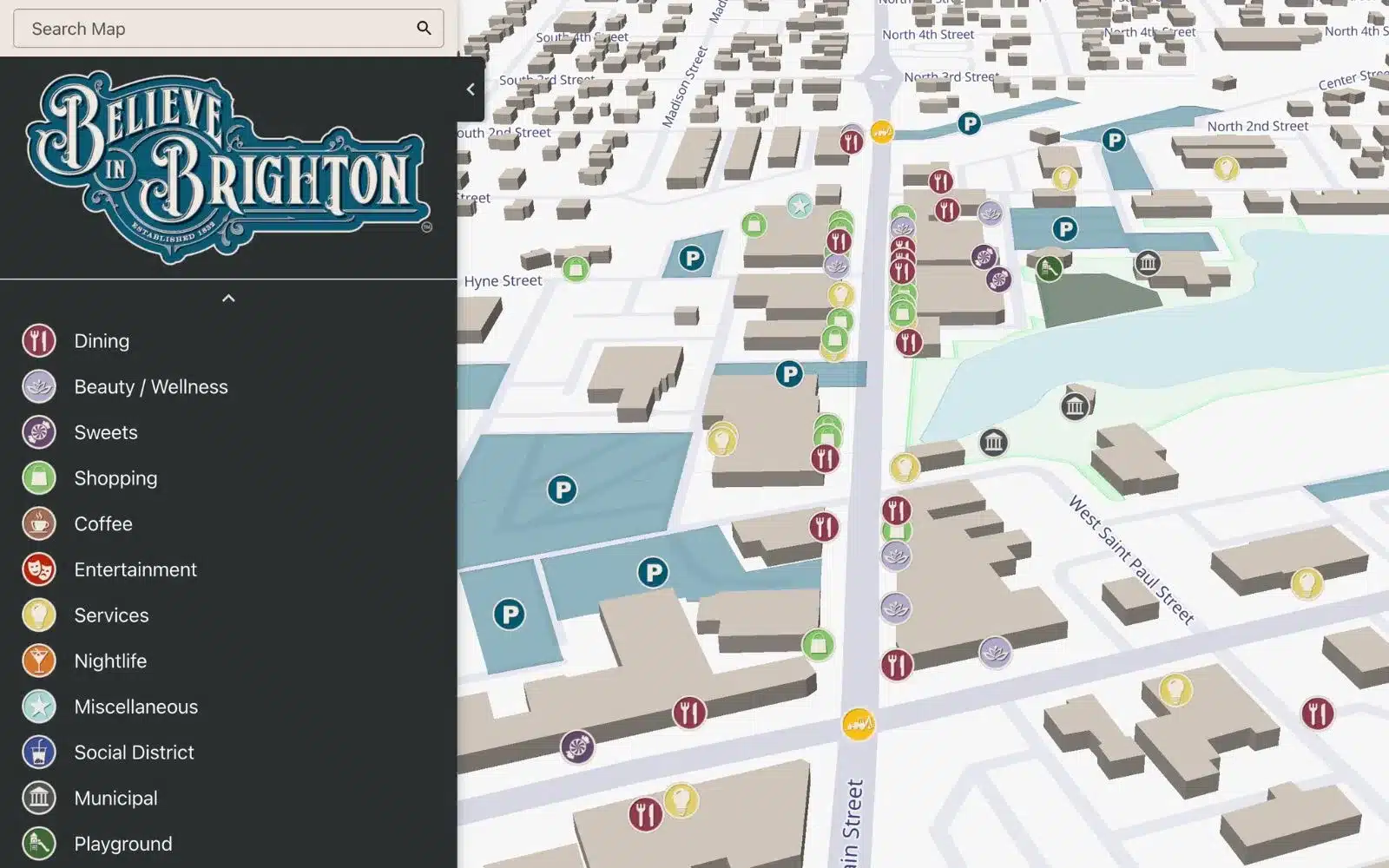
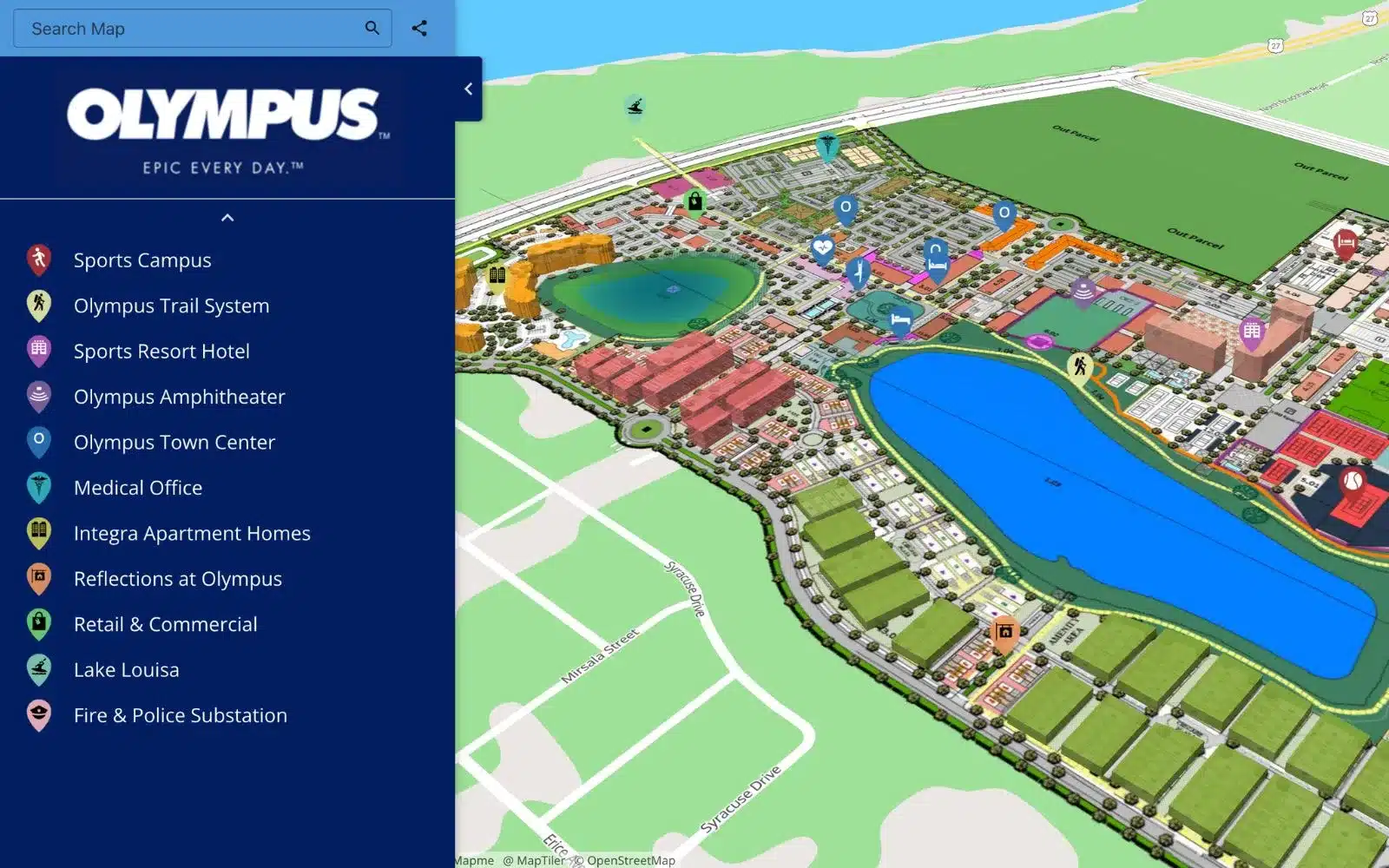
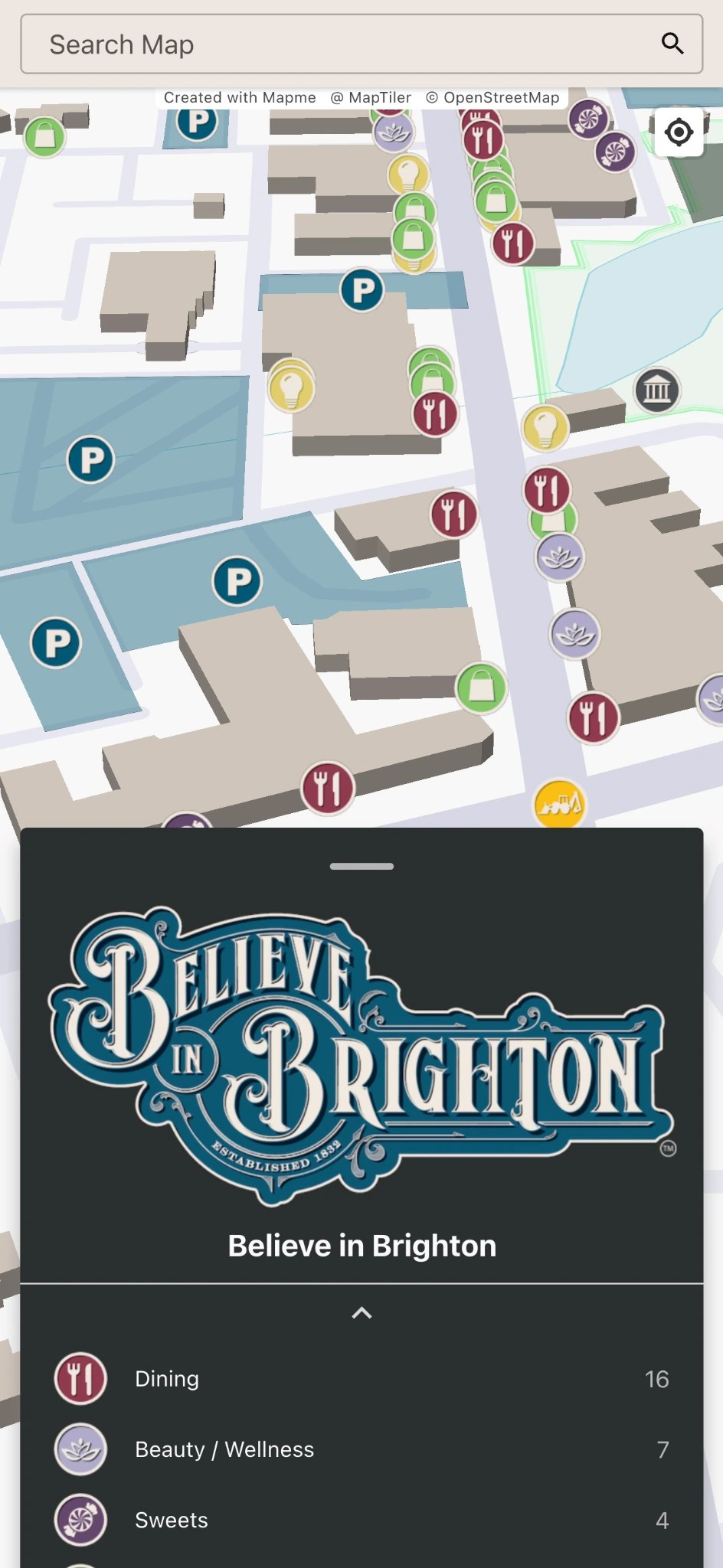
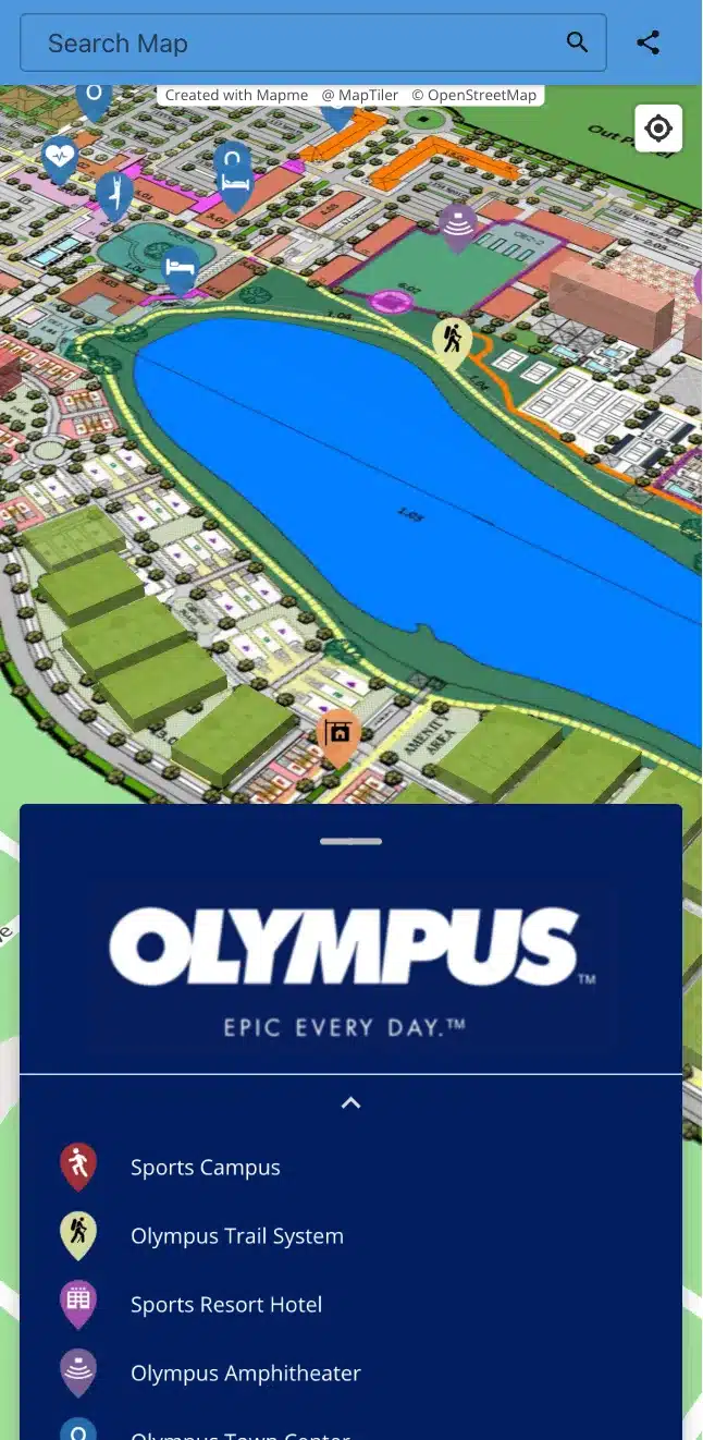
100,000+ interactive maps created (and counting!)
Explore examples of maps created using our map builder.


How to create interactive maps with Mapme
Creating beautifully designed custom maps with Mapme is simple, and doesn’t require any coding or GIS skills. Simply follow these steps:
- Create a Mapme account.
- Add or import locations. For each location, you can add descriptions, photos, videos, and more.
- Select a layout that best suits your goals and audience. Use a simple story flow or organize your map with categories and subcategories.
- Customize your map design and layout to achieve the perfect look and feel.
- Publish your map. Go live, embed your map on your website, and share it on social media.

Watch Tutorial

Prefer Not to Start from Scratch?
Browse professionally designed templates for directories, events, real estate, tourism, and more. Pick one, customize it, and launch faster.
Need Help Creating Your Map?
Our in-house mapping experts can design and build your custom interactive map—so you can launch faster without learning the platform.

Frequently Asked Questions
Do you offer discounts?
Yes! We offer discounts to registered NGOs, charities, and community organizations working towards benefiting society and human welfare. Contact us for more info.
Can I embed my maps on my website?
Yes! Each of our subscription plans allows you to embed your maps on virtually any website (WordPress, Wix, Squarespace, etc.). Maps can easily be shared on social media and integrated into a mobile app.
Does building an interactive map require coding?
Anyone can create amazing-looking maps using the intuitive and user-friendly Mapme editor. No coding or GIS knowledge is required.
Are interactive maps mobile friendly?
The majority of Mapme end-users view the map on their mobile phones, so the platform is specifically designed to create an excellent mobile experience without the need to download and install an App.
Can I create a map that matches the look and feel of my website?
Yes! With Mapme, you can easily style your interactive map to align with your website’s design. Customize the panel with your logo, brand colors, fonts, and markers to create a seamless brand experience. Learn more.
Can I generate a print-friendly version of my interactive map?
Yes, sure. Mapme offers both standard resolution ideal for presentations such as PowerPoint and PDF and high 4K resolution suitable for large dimension, high-quality printing.